
In an effort to increase public participation in the City Council’s redistricting, the New York City Districting Commission is inviting city residents to draw their own maps using an online drawing tool released last week.
A version of DistrictR mapping specific to New York City’s neighborhoods was released as another way to provide public testimony.
In a press release, Commission Chair Dennis Walcott said that this was the first time residents had a chance to participate in the mapping process in this way. He added, “this is a big step forward in digital democracy.”
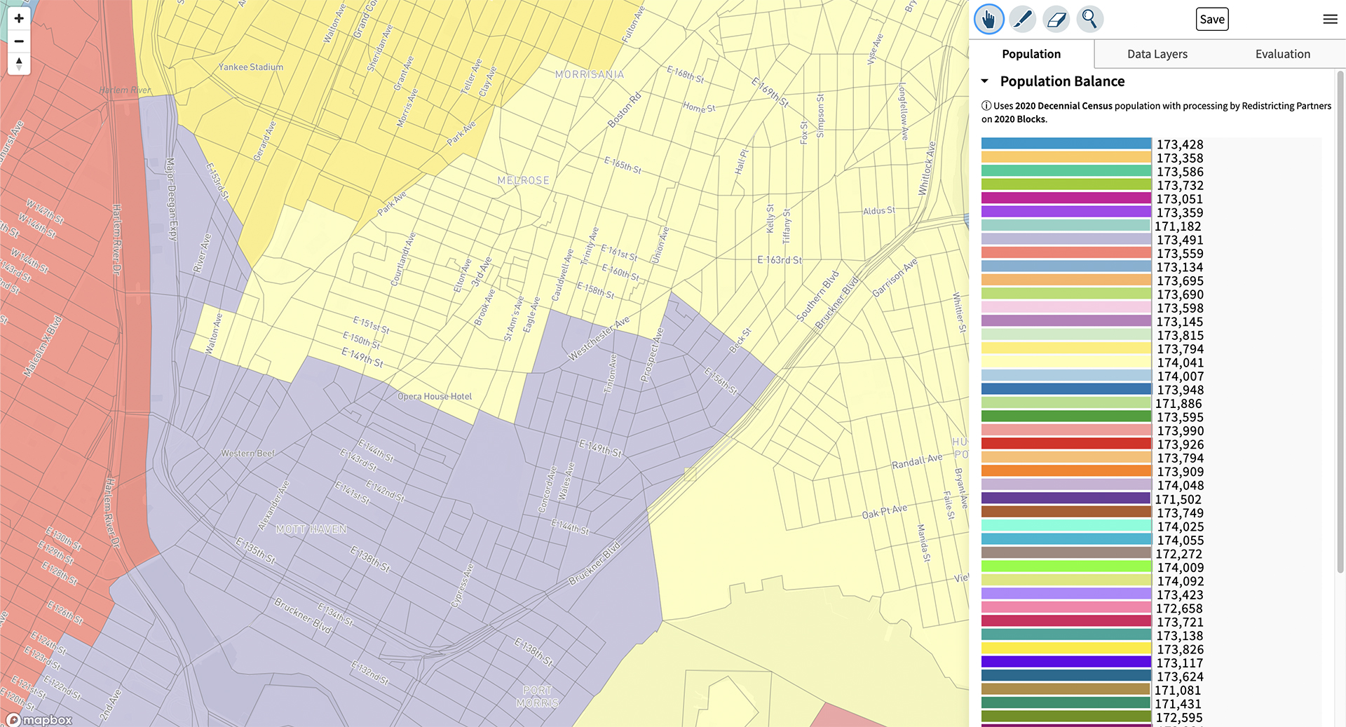
The NYC mapping tool is part of a nationwide DistrictR project that is “intended to promote public participation in redistricting.” The tool was designed as a conduit of local interests to their governing bodies, and was created by MGGG Residential Lab, a research group at Tisch College of Tufts University.
“The software gives every New Yorker access to data and mapping capabilities like those used by the Commission. This includes population data, census blocks, citizen voting age population data by race, existing Council district lines, Community Board boundaries, and the new five percent population deviation legal requirement,” the Commission said.
This is another opportunity for Bronxietes to participate in the process, from which they have been largely absent thus far.
The next public hearings in each of the boroughs are August 16-18 and 21-22. People can participate by submitting testimony on the proposed maps in person, Zoom, email, and by mail.
September 22 is the deadline for the Districting Commission to submit the new district plan to the City Council.
The New York City Charter requires that Council Districts are redrawn every 10 years in accordance to the decennial U.S. Census reflecting population changes. The population in the city grew from 8.2 million to 8.8 million people, an increase of more than seven percent.