
The Bronx Institute for Urban Systems is offering geographic information systems (GIS) classes for community members who wish to learn more about the tool.
(Para leer una version del articulo “en español, vaya a esta versión.)
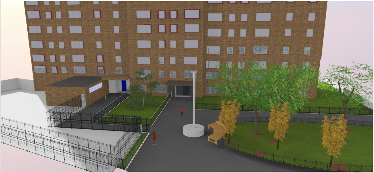
Geographic information systems is a “spacial and database tool,” according to the institute’s website. The technology is most commonly used in GPS tracking and navigation devices. The class focuses on teaching students how to use ArcGIS Pro, a software used by professionals to map.
The institute, which focuses on building the Bronx to become what it calls “a sustainable solutions innovator,” is advocating for the use of the system to develop environmental solutions for the borough. It was launched by Bronx Community Board 1 member and Mott Haven resident Cesar Yoc.
“We believe conservation begins with learning about the ecology of the urban environment and understanding the impact of growing populations and the development industry on our natural environment,” the institute said in a news release.
By offering this class, the institute said it hopes to empower Bronx communities by providing services in green architecture using the software.
Classes are available every Tuesday and Wednesday in March, and are available until March 2023 through sign-ups on their website. Classes cost $300 and the ArcGIS software tutorial is currently free.